Research
Gaia: HybridDeepLabV3+ Framework
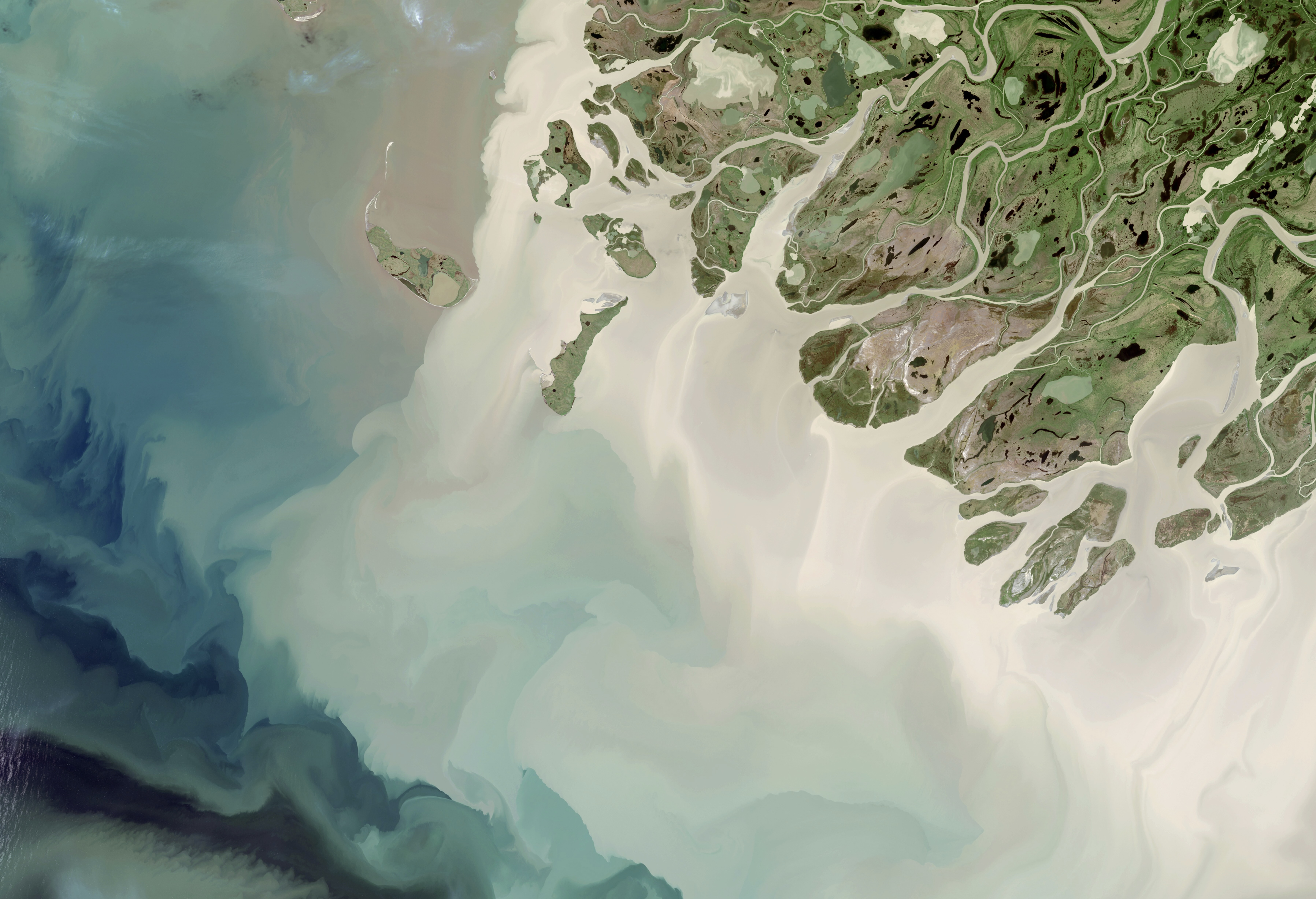
Gaia is a comprehensive semantic segmentation framework designed for high-quality aerial imagery analysis. It extends standard DeepLabV3+ by integrating hierarchical skip connections, attention-based feature fusion, and boundary-aware loss components. The complete research framework includes training, inference, evaluation notebooks, advanced model implementations, augmentation pipelines, and specialized metrics for boundary-aware analysis—making production-grade segmentation straightforward to reproduce and extend.
Role
ML Research Engineer
Computer Vision
Collaborators
Data Scientists
Domain Experts
Duration
Sep 2025 - Present
Tools
Python
TensorFlow
PyTorch
GDAL
OpenCV
GitHub Repository
Model Hub
Project Overview
HybridDeepLabV3+ addresses the critical need for high-fidelity aerial image segmentation with special emphasis on boundary accuracy. The framework achieves 3–5% improvement in mIoU over baseline DeepLabV3+ and 5–8% improvement on boundary IoU metrics. The modular architecture includes comprehensive documentation, five loss functions, multiple augmentation strategies, and four boundary-specific evaluation metrics. Designed for cross-dataset training, the framework supports normalized batch composition for mixed aerial and land-cover datasets.
Architecture & Components
The HybridDeepLabV3+ architecture consists of:
- Encoder: Xception backbone with skip features at strides [4, 8, 16]
- ASPP: Atrous spatial pyramid pooling for multi-scale context capture
- Decoder: Multi-path hierarchical skip connections for feature fusion
- Attention Mechanism: Channel (SE), Spatial, and Adaptive Fusion modules
Advanced Loss Functions
The framework implements five complementary loss functions:
- Class-Balanced Loss: Handles severe class imbalance in segmentation datasets
- Focal Loss: Emphasizes hard examples and boundary pixels
- Boundary-Aware Loss: Morphological edge emphasis with configurable width
- Dice Loss: Region-based optimization for better cohesion
- Hybrid Loss: Weighted combination of all four for balanced training
Specialized Augmentation Pipeline
Three augmentation intensity levels optimized for aerial imagery:
- Light: ±10° rotation, (0.9 - 1.1) scale—stable training baseline
- Medium: ±15° rotation, (0.8 - 1.2) scale—balanced robustness
- Heavy: ±20° rotation, (0.7 - 1.3) scale—maximum generalization
Boundary-Aware Evaluation Metrics
Standard metrics (mIoU, per-class IoU, pixel accuracy) augmented with:
- Boundary IoU (BIoU): Intersection-over-union computed only on boundary regions
- Contour Matching Score (CMS): Threshold-based boundary pixel matching
- Mean Boundary Distance (MBD): Hausdorff-style edge distance metric
- Sub-class IoU: Fine-grained accuracy for boundary-adjacent pixels
Benchmark Results
Comprehensive benchmarking shows consistent improvements over baseline DeepLabV3+:
- mIoU: +3–5% improvement (0.718 → 0.75+)
- Boundary IoU: +5–8% improvement (0.65 → 0.70+)
- Small Objects: +8–12% improvement (0.52 → 0.60+)
- Cross-Dataset Performance: Strong generalization on unseen geographies and seasons
Implementation & Reproducibility
The framework prioritizes reproducibility and ease of use:
- Conda Environment: roadenv with Python 3.8 for consistent setup
- Dual Framework Support: PyTorch and TensorFlow implementations
- Comprehensive Notebooks: Training, inference, and evaluation workflows
- Configuration-Driven: CONFIG dictionaries for rapid experimentation
- Device Detection: Automatic MPS/CUDA/CPU fallback for seamless inference
Quick Start Example
Build, compile, and train in four lines:
Multi-Dataset Training
The framework supports cross-dataset training by normalizing batch composition:
- DeepGlobe Dataset: Large-scale land cover with RGB imagery
- LandCover.ai: High-resolution European land cover
- Spectral Normalization: Per-dataset channel statistics for balanced learning
- Mixed Batch Strategy: Interleaved sampling for robust generalization
Comprehensive Documentation
The project includes four detailed reference documents:
- HYBRID_DEEPLABV3_DESIGN.md: Complete technical design with 8 sections
- HYBRID_DEEPLABV3_IMPLEMENTATION.md: Implementation recipes and best practices
- HYBRID_DEEPLABV3_COMPLETE_SUMMARY.md: Detailed overview and integration guide
- hybrid_deeplabv3plus_evaluation.ipynb: 13-cell executable evaluation notebook
Troubleshooting & Performance Tips
Common issues and solutions:
- ModuleNotFoundError: Use checkpoint aliasing or re-save weights as state_dict
- OOM Errors: Reduce batch size (16→8→4) or image resolution (512→384)
- Slow Training: Enable mixed precision, use tf.data.AUTOTUNE, compile with XLA
- Overfitting: Increase augmentation intensity or add dropout layers
Research & Impact
HybridDeepLabV3+ enables researchers and practitioners to:
- Achieve state-of-the-art boundary accuracy on aerial imagery
- Train and evaluate models across multiple land-cover datasets
- Rapidly prototype new loss functions and augmentation strategies
- Deploy production-grade segmentation pipelines with confidence
- Contribute improvements through modular, well-documented code